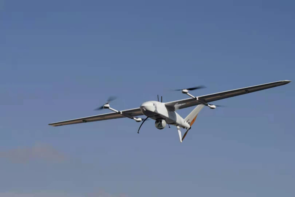
In modern drone technology, Global Navigation Satellite Systems (GNSS) serve as an invisible aerial compass, providing precise positioning, navigation, and timing services. From autonomous flight to precision operations, the deep integration of GNSS is driving drone applications toward unprecedented accuracy and intelligence.
1. Core Functions: Why Drones Need “Satellite Eyes”?
GNSS enables three fundamental capabilities through multi-satellite positioning:
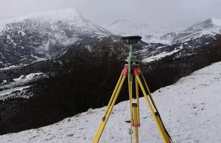
Centimeter-Level Accuracy: Real-Time Kinematic (RTK) correction eliminates atmospheric errors, achieving sub-meter or even centimeter-level precision for agriculture, surveying, and other demanding applications.
Global Coverage: Compatibility with GPS, BeiDou, GLONASS, and other systems ensures stable navigation in remote areas, oceans, or polar regions.
Dynamic Path Planning: Real-time position updates help drones avoid obstacles and adjust routes in complex airspace.
These capabilities reduce reliance on manual control, enabling higher autonomy.
2. Key Applications: How GNSS Empowers Drones
Precision Agriculture
Drones equipped with GNSS follow pre-programmed routes to spray pesticides, distribute fertilizers, or monitor crop health, improving resource efficiency by over 30%.
Logistics Delivery
In mountainous or island regions, GNSS-guided drones chart optimal paths around terrain obstacles for pinpoint package delivery.
Disaster Response
Post-earthquake or flood, drones use GNSS to rapidly map disaster zones, locate survivors, and plan aerial supply drops.
Infrastructure Inspection
For power lines or pipelines, GNSS enables automated long-distance patrols with precise defect logging, enhancing safety and efficiency.
3. Technical Advantages: The GNSS Edge
Compared to alternative navigation technologies, GNSS offers unmatched benefits:
All-Weather Operation: Unaffected by day/night cycles or weather conditions.
High Reliability: Redundant multi-system design ensures continuity if one signal fails.
Cost Efficiency: Leverages existing satellite networks without ground infrastructure.
Integration with Inertial Navigation Systems (INS) further strengthens navigation robustness in signal-challenged environments like urban canyons or tunnels.
4. Future Evolution: From Positioning to Intelligent Ecosystems
Advancements will focus on two directions:
Enhanced Accuracy: Low-orbit satellites and 5G networks will supplement signals for ubiquitous centimeter-level positioning, enabling autonomous obstacle avoidance and swarm flight.
Collaborative Intelligence: Multi-drone GNSS data sharing will build distributed navigation networks for complex missions.
Industry projections suggest GNSS will become the backbone of drone autonomy within a decade, accelerating smart transformation across logistics, agriculture, and security sectors.